

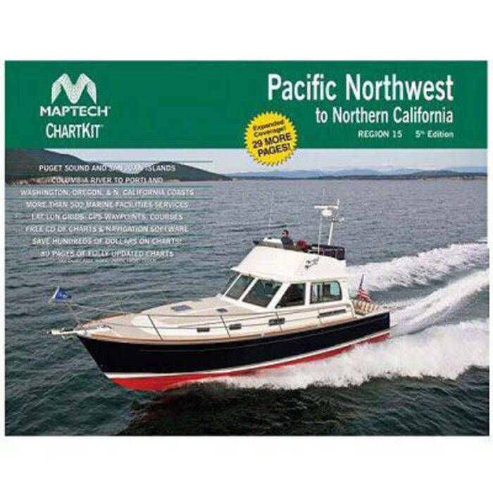
Maptech ChartKit - Pacific Northwest to Northern California - R15-05
Item: #874156 | Part Number: R15-05

The Maptech ChartKit R15-05 delivers full-color NOAA chart reproductions for the Pacific Northwest to Northern California in a convenient, spiral-bound format. Designed for cruisers, it includes pre-plotted GPS waypoints, magnetic compass courses, and lat/lon grids to simplify navigation and trip planning. Large enough to plot routes yet compact for onboard use, it's an economical and reliable reference for coastal cruising.
Maptech ChartKit - Pacific Northwest to Northern California - R15-05 Item # 874156
Description
The Region 15 Maptech ChartKit - Pacific Northwest to Northern California contains full-color reproductions of NOAA charts bundled together in large cruising regions. These ChartKits contain features that make planning a trip, plotting your course or determining your location a breeze. In addition to the charts, the ChartKit contains pre-plotted waypoints, magnet compass courses and lat/lon grids to use with your GPS.
Features:
- Full-color reproductions of NOAA charts bundled together in large cruising regions
- Economical - Save up to 90 percent compared to the cost of purchasing individual paper charts
- The perfect size
- Large enough to plot routes
- Small enough to fit on your lap
- Easy to use pre-plotted waypoints and lat/lon grids for your GPS
- Magnetic courses for your compass
- Fully referenced geographic and alphabetical indexes quickly point you to the right page
- A reliable primary or secondary navigational reference
- Dimensions: 22" x 17" (Spiral-bound)
- GPS waypoints
- Magnetic courses
- Multiple chart scales
- "Go to" page numbers
- Aerial photos