


Electronic Charts
-
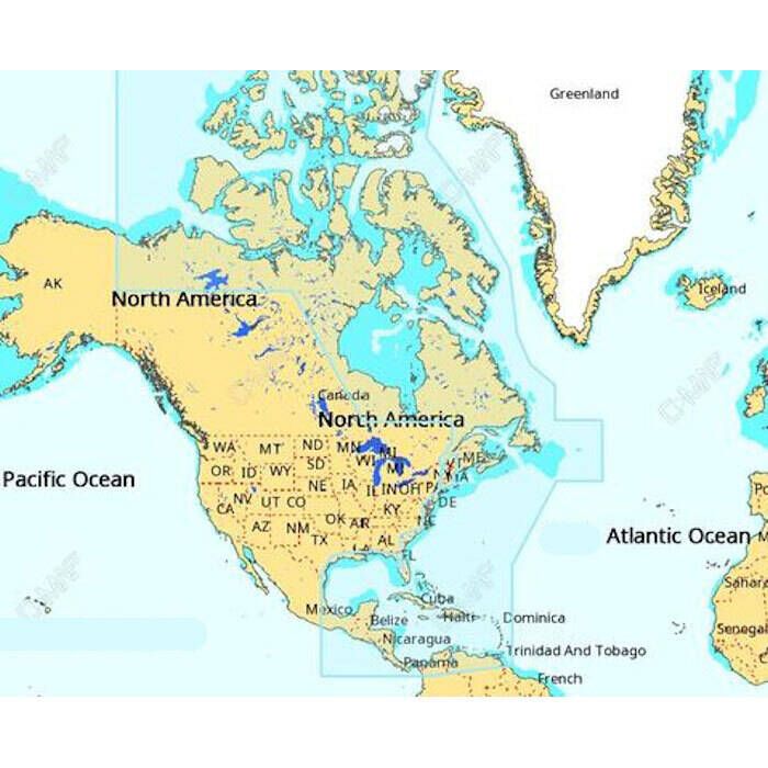
Navionics + Electronic Marine Charts
$136.99 - $187.99 -
 5% off
Navionics Platinum+ Electronic Marine Charts
$223.99 - $476.99$212.79 - $476.99 -
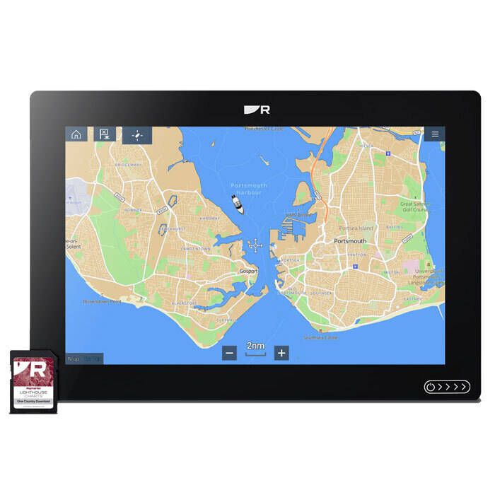
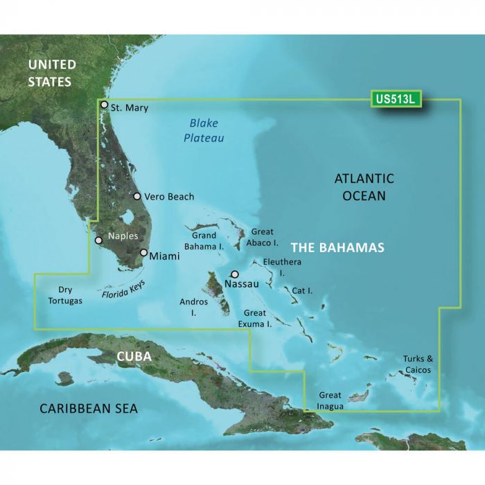
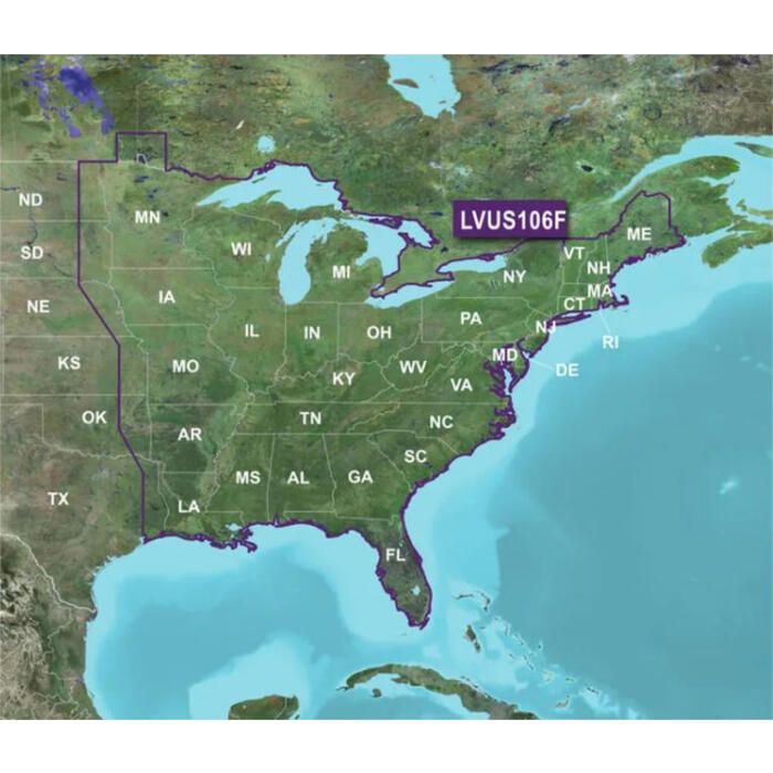
Raymarine LightHouse North America Chart - R70794
$159.99 -
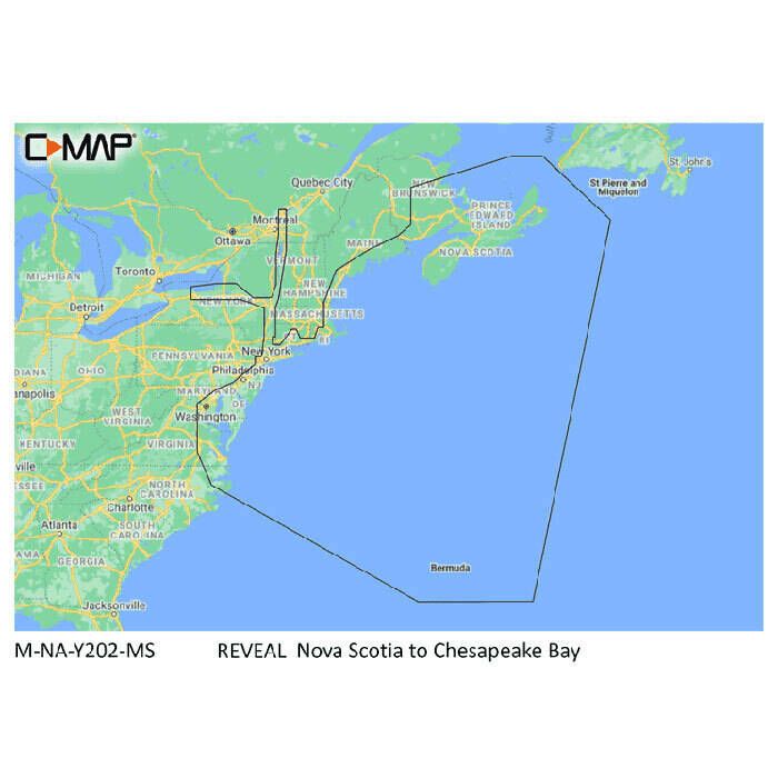
C-Map Reveal Coastal Chart
$260.00 -
 10% off
Garmin Navionics Vision+ Marine Charts
$185.99 - $368.99$167.39 - $368.99 -
Garmin BlueChart g3 Vision HD North America Marine Charts
$309.99 - $397.99 -
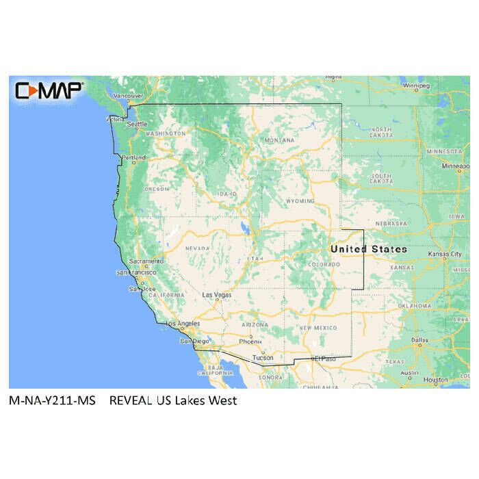
C-Map Reveal Lake Chart
$179.00 -
 15% off
Garmin Navionics+ North America Marine Charts
$135.99 - $231.99$135.99 - $231.99 -
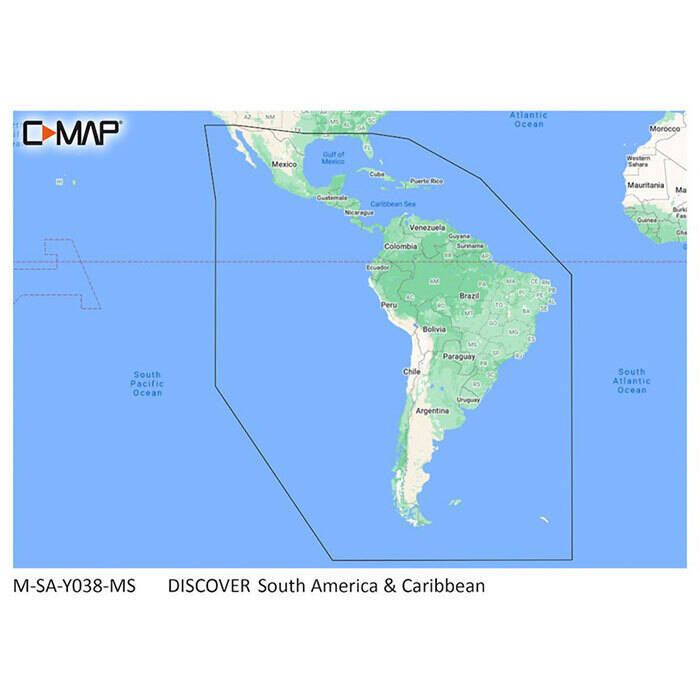
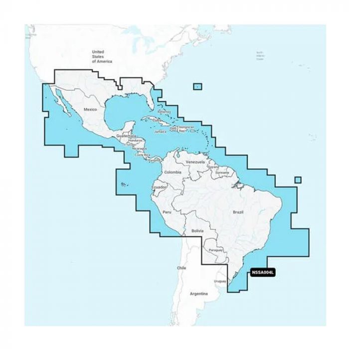
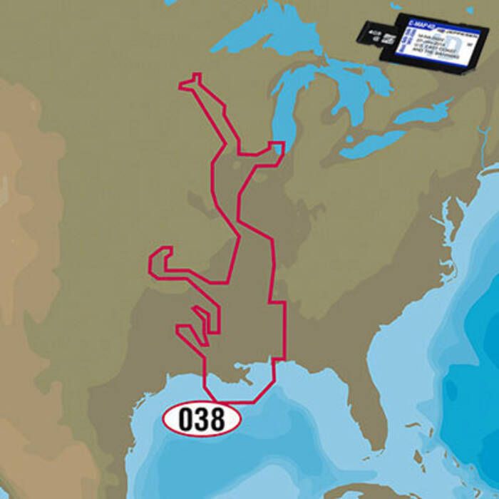
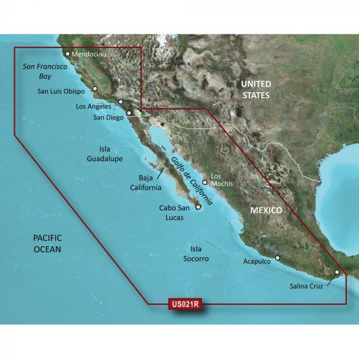
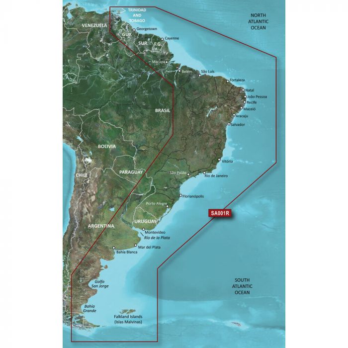
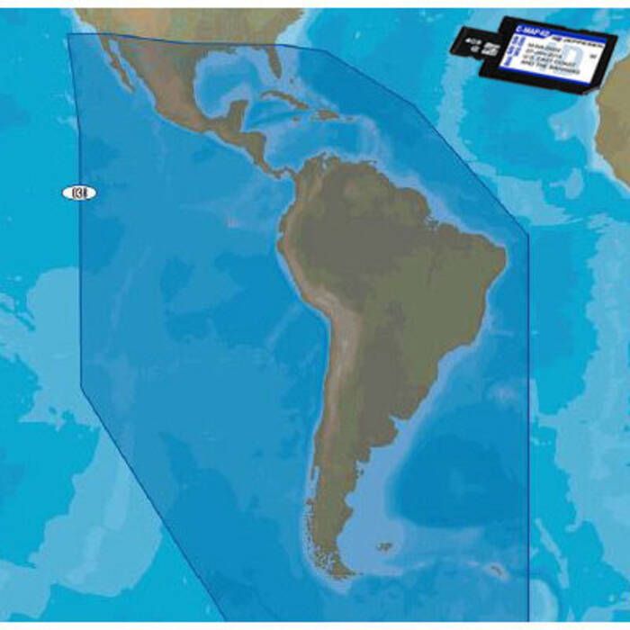
C-Map Discover South America & Caribbean Chart - M-SA-Y038-MS
$129.00 -
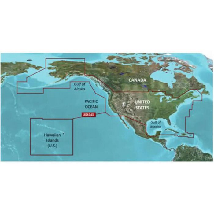
Furuno C-MAP WIDE Electronic Navigation Charts
$258.99 -
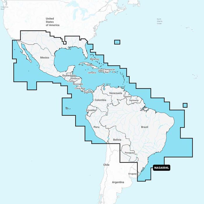
Garmin Navionics Plus South America Marine Charts
$178.99 - $185.99 -
C-Map Reveal X US Lakes Electronic Navigation Chart
$177.00 -
C-Map Reveal X Electronic Navigation Chart
$260.00 -
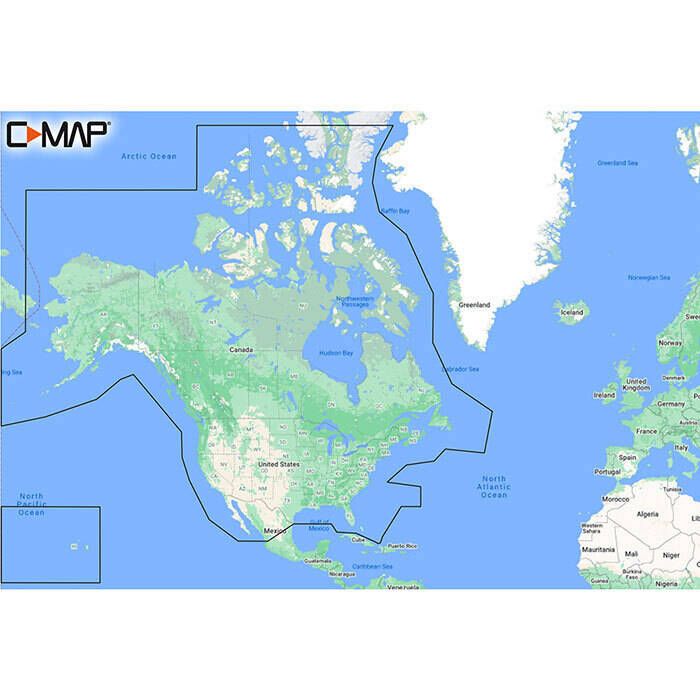
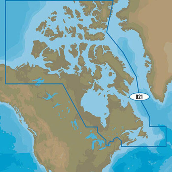
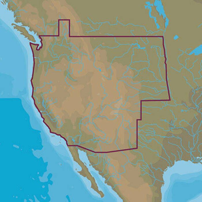
C-Map Discover Charts - North America: USA/Canada - M-NA-Y200-MS
$129.00 -
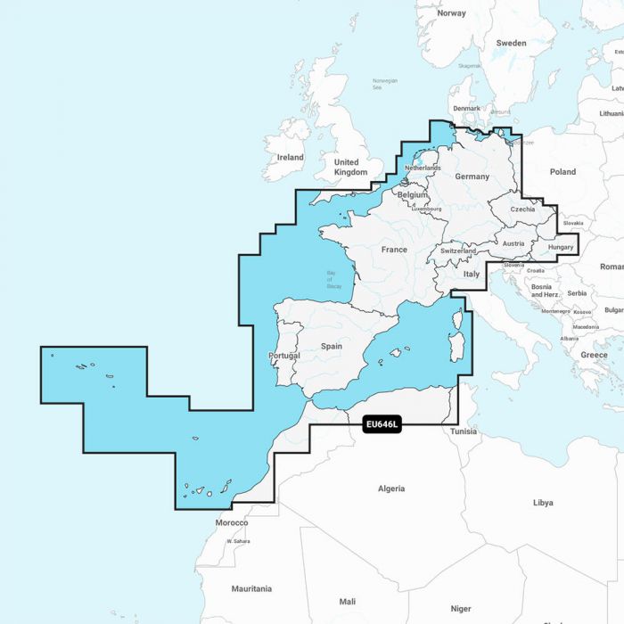
Garmin Navionics Plus Europe Marine Charts
$149.99 - $231.99 -
C-Map 4D MAX+ Electronic Chart
$353.00 -
C-Map Discover X Electronic Navigation Chart
$156.00 -
Garmin Navionics Vision+ Chart Updates
$142.99 - $188.99 -
C-Map 4D MAX+ Lakes Electronic Navigation Chart
$207.00 -
 21% off
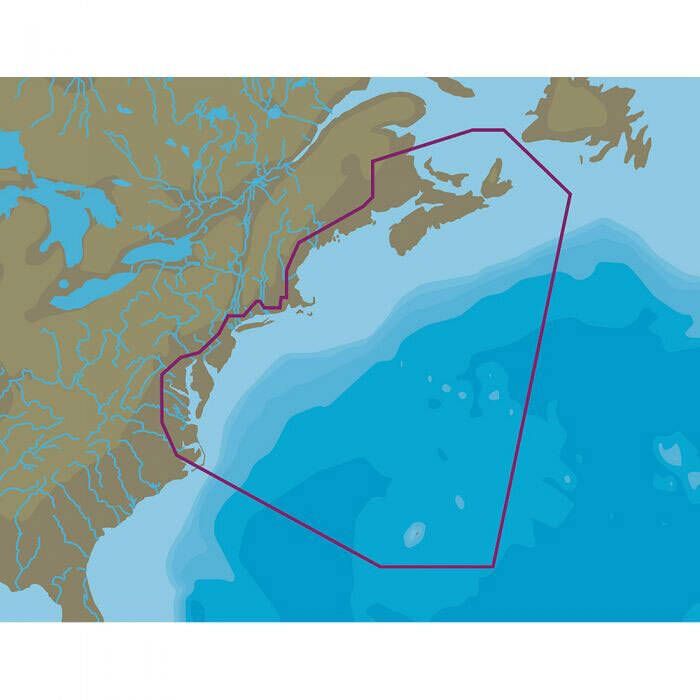
C-Map 4D MAX+ Local Electronic Navigation Chart - East North America & Bermuda
$207.00$161.99 - $207.00 -
Furuno C-MAP MEGA WIDE Electronic Navigation Charts
$516.99 -
Garmin Navionics Plus Oceania Marine Charts
$121.99 - $222.99 -
C-Map 4D MAX+ Electronic Continental Chart
$187.00 -
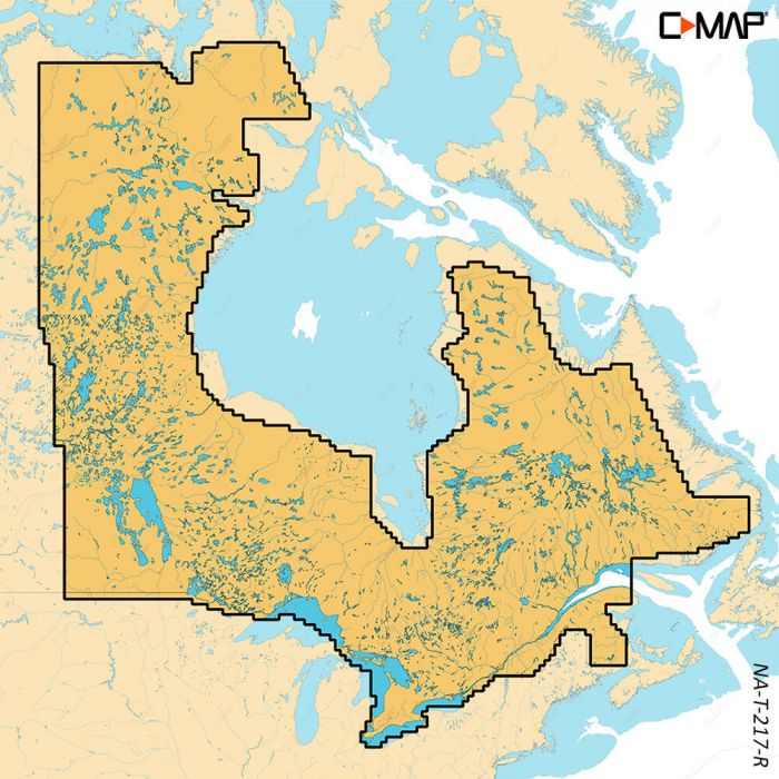
C-Map Reveal X Canada Lakes Electronic Navigation Chart
$177.00 -
Garmin LakeVu g3 Ultra Marine Charts
$137.99 - $178.99 -
Garmin BlueChart g3 Chart Updates
$114.99 - $123.99 -
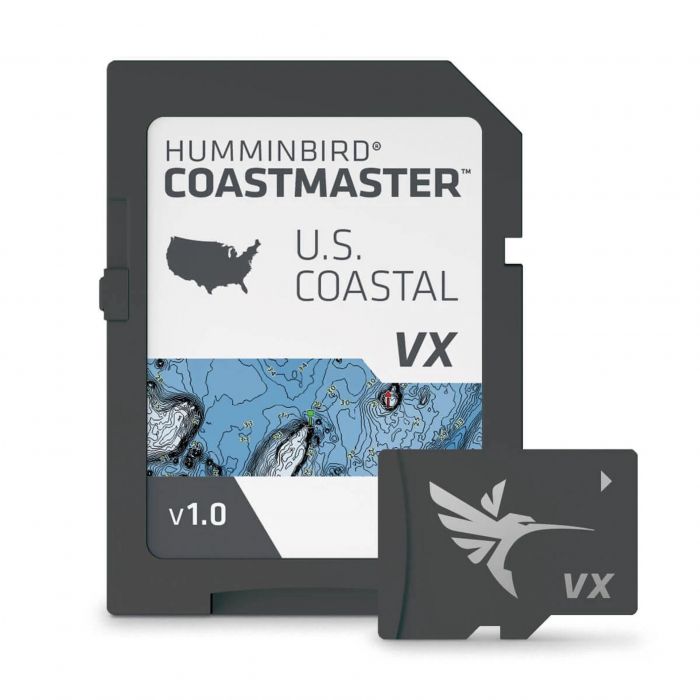
Humminbird Coastmaster U.S.V1 Coast Chart - 601015-1
$149.99 -
 5% off
Garmin Navionics+ Australia Marine Charts
$222.99$211.84 - $222.99 -
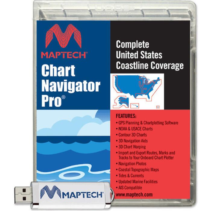
Maptech Chart Navigator Pro Software - SWCNPRO2024
$259.99 -
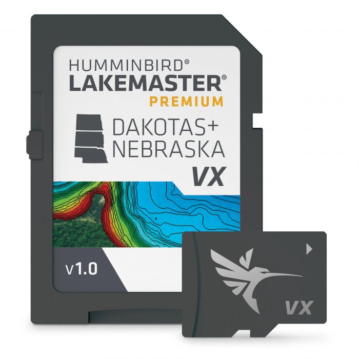
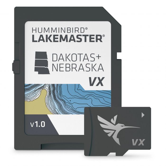
Humminbird LakeMaster Premium Chart
$199.99 - $249.99 -

Humminbird AutoChart Zero Line SD Card - North America - 600033-1
$85.99 -
Garmin BlueChart g3 HD North America Marine Charts
$134.99 - $195.99 -
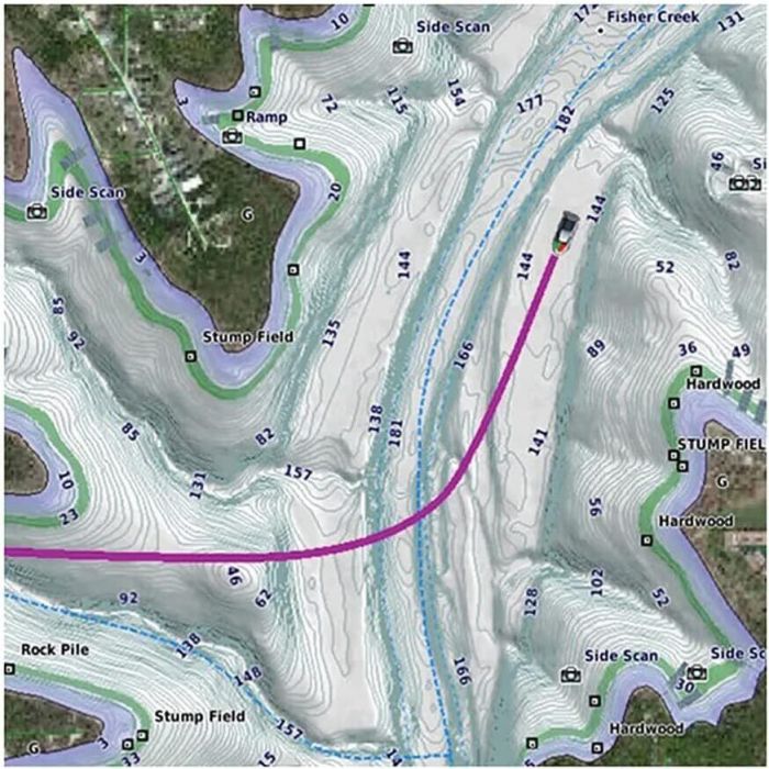
Humminbird LakeMaster Chart
$111.99 - $129.99 -
Garmin Canada LakeVu g3 Ultra Canada Inland Maps - 010-C1114-00
$178.99 -
Garmin BlueChart g3 Vision HD Asia Marine Charts
$164.99 -
 10% off
Garmin BlueChart g3 Vision HD South America Marine Charts
$311.99$280.79 -
Garmin BlueChart g3 HD Australia Marine Charts
$258.99 -
 15% off
Garmin BlueChart g3 HD South America Marine Charts
$139.99 - $195.99$139.99 - $166.59 -

Garmin Navionics Plus Asia Marine Charts
$139.99 - $185.99 -
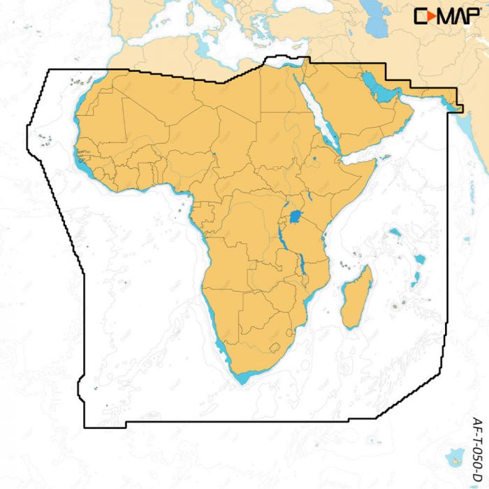
 10% off
Garmin Navionics Plus Africa Marine Charts
$149.99 - $231.99$134.99 - $231.99 -

Garmin Navionics Plus Australia Marine Charts
$121.99 -
Humminbird AutoChart PC North America - 600031-1
$165.99 -
Humminbird AutoChart PC Pro Mapping Software - North America - 600032-1
$204.99 -
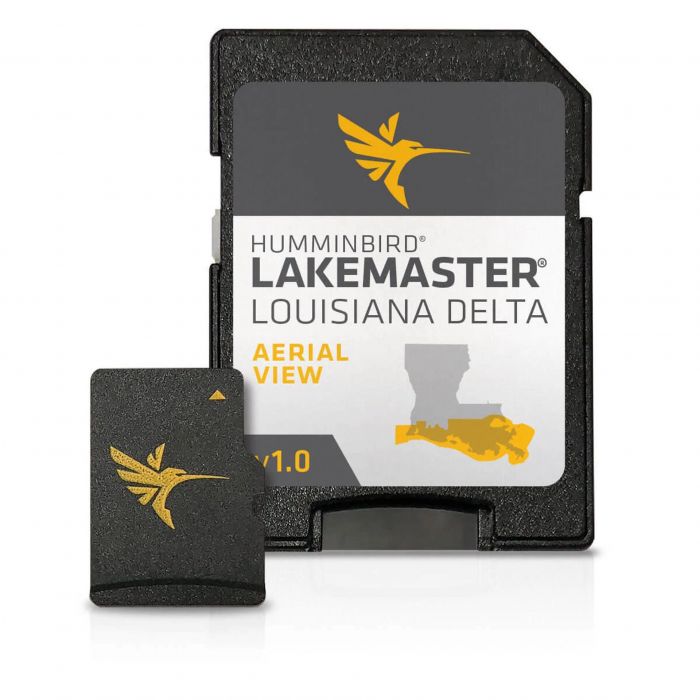
Humminbird LakeMaster Louisiana Delta Aerial View V1 Chart - 600050-1
$149.99 -
 22% off
C-Map 4D Continental Electronic Navigation Chart
$187.00$145.79 -
 22% off
C-Map MAX 4D Lake Insight HD Electronic Navigation Charts
$187.00$144.49 - $187.00 -

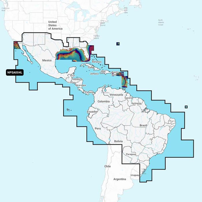
Garmin Navionics+ South America Marine Charts
$140.99 - $149.99 -
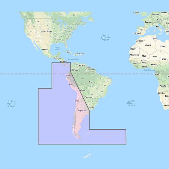
Furuno C-Map Wide Chart - Costa Rica to Chile to Falklands Vector Charts Unlock Code - MM3-VSA-500
$261.99